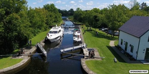
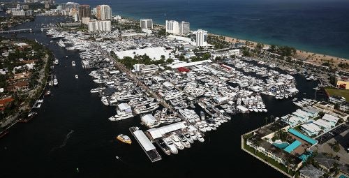
 Fort Lauderdale International Boat Show Preview
 10 Best New Boat Accessories at IBEX 2021
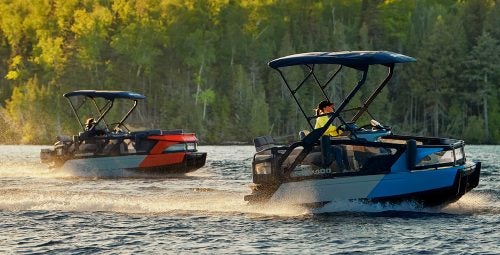 2022 Sea-Doo Switch Pontoon Boat Lineup Unveiled
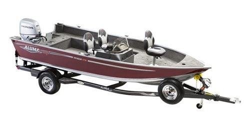 BRP Enters Fishing Boat Market with Purchase of Alumacraft Boat
 Volvo Commits To Electric Power By 2021
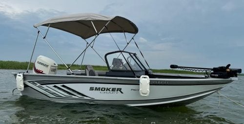 Kemimoto 4 Bow Bimini Top and Boat Bumper Review
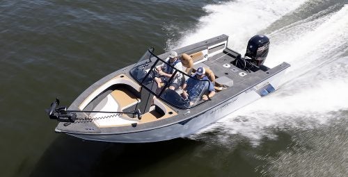 Starweld Victory 20 Review
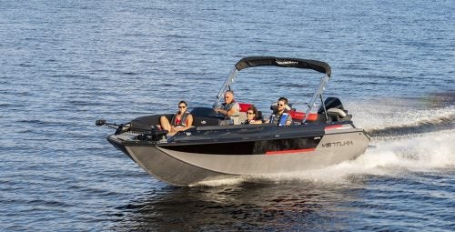 Princecraft Ventura 23 RL Review
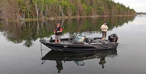 Lund 2075 Pro V Review
 Scout 281 XSS Review
 Fuel Saving Tips For Boaters
 Best Boating Accessories
 Best Boating Apps
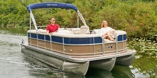
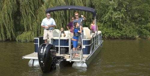 5 Pontoon Boats That Are Made To Fish
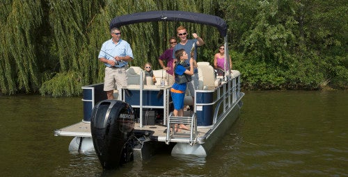 10 Great Small Pontoons
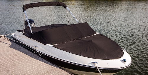 Your Boat Was Expensive—Do You Really Trust a $2 Rope From the Dollar Store to Secure It?
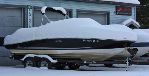 Do I Need Insurance Coverage Against Ice or Freezing Damage?
 What Kind Of Insurance Coverage Do I Need?
 What About Salvage?
 Boat Insurance or Yacht Insurance?
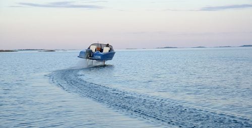
A new unmanned boat equipped with Google‘s proprietary Street View Trekker camera system has begun mapping US shorelines from the sea, providing a similar view of shorelines as Google offers of terrestrial areas with its Street View application.
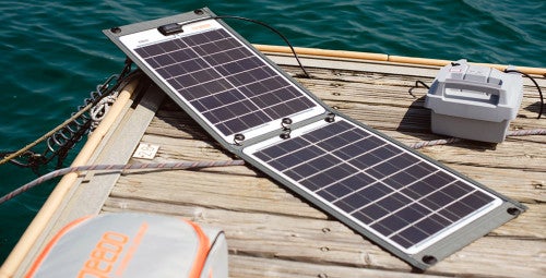
The prototype uses the Trekker camera system (originally designed to be worn by backpackers) mounted on an inflatable boat powered by a pair of electric motors. The first imagery collected – nearly 500 miles of San Francisco Bay coastline – will go live in the coming weeks.
Designed to help raise awareness of the impacts of rising global sea levels, the vessel is operated on behalf of the San Francisco Baykeeper environmental group.
“A lot of people know about sea level rise,” says Sejal Choksi, an environmental lawyer and Baykeeper’s interim director. “We are hoping these images will really bring the reality home to the public, that they will look at pictures of places they know and say, ‘Oh my gosh, this is going to be underwater.'”
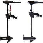
The small, remote-controlled catamaran – known as a Wave Adapted Modular Vehicle (WAM-V)- features a modified hull design that flexes to adjust to the water’s surface and provide increased stability. Baykeeper’s WAM-V sports twin Torqeedo Cruise 4kW electric outboard motors rigged with Power 26-104 lithium batteries. The boat is able to run for hours with a nearly zero environmental footprint, thanks to onboard traditional and solar charging capabilities.
For more information on the San Francisco Baykeeper’s Google Boat project, visit the organization at www.baykeeper.org.

 The Best Bowriders For The Money
 Sailfish 312CC Review
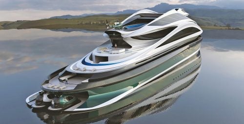 The Wildest Concept Yachts
 2016 Trifecta 200 Series 220FCR
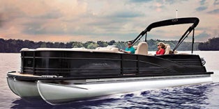 2016 Harris Grand Mariner SL 270 DL
 2016 Crestliner Authority 2050
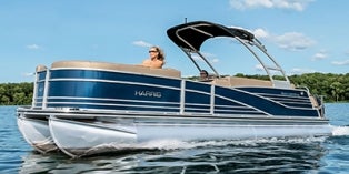 2016 Harris Grand Mariner SL 230 DLDH